-40%
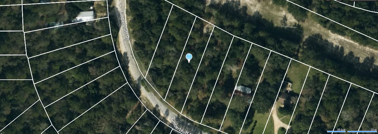
🇺🇸20 Acre Placer Gold Mining Claim🇺🇸Colorado Rockies, Summit County🇺🇸
$ 348.47
- Description
- Size Guide
Description
20 Acre, Chihuahua Gulch Creek Placer Gold Claim, Colorado Rockies, Summit CountyClick any image to see it full size
Item Description
You are bidding on the full price on an Unpatented Placer Mining Gold Claim in
Summit
County Colorado State. The claims location is on Chihuahua Gulch
Creek.
Chihuahua District
The Chihuahua District includes the area around the town of Chihuahua and Chihuahua Creek and Chihuahua Gulch - a tributary to the Middle Fork of the Snake River, northeast of Montezuma. The District is listed by Henderson (1926) and Dunn (2003), but is not specifically described in any of the other major references on Summit County.
Among the mines listed in Dunn (2003) as representing the district, the Maid of Orleans Mine (and vein) are described, in Lovering (1935) on the southeast spur of Lenawee Mountain about a mile northeast of the town of Montezuma. The Eliza Jane is listed with the American Eagle Mine (in the Peru Creek Area) in mindat.org and described in Lovering and Goddard (1950).
Gold was discovered in the area called Chihuahua Creek in 1878 (Gilliland, 2006) and the Chihuahua Mining and Milling Company incorporated the following year to process ore from the find. The town of Chihuahua became one of the largest in the area (Eberhart, 1969).
This is a beautiful creek with great potential for panning, sluicing, and metal detecting. Many falls and pools make up this section of the creek which flows year-round. Bedrock is abundant with many traps consisting of roots, cracks, and gravel deposits.
Summertime temperatures here range from night time lows in the 50s to day time highs in the 90s.
Local gravels on bedrock. Many, many bedrock exposures!
Serpentine bedrock - highly fractured/sheared.
Small to moderately-sized gravel bars.
Cascading waterfalls and pools.
Some remnant terraces.
Tree roots & grass clumps, downed trees, logs, etc.
Medium to shallow water.
Wide pull-outs on road, nearby camping.
Mining level: Recreational to intermediate.
Quiet and safe area; very beautiful.
Geology
: Several granitic stocks are intrusive into slate, quartzite and limestone of the Claveras Formation (Carboniferous to Permian) and amphibolite. Exfoliaiton has formed several round granitic domes, of which Bald Rock is the most prominent. Serpentine, some Tertiary basalt and a few patches of Tertiary auriferous gravel are present. The veins are narrow, but the ore bodies often are rich. Pyrite and galena are abundant.
Claim Info:
Payment Details
Upon full payment, + Plus 0 fee. We will send you a Quitclaim deed naming you as the new owner for this mining claim. All fee's and documents required by the BLM have been filed for this assessment year. You will need to file either an annual maintenance fee or an affidavit of the performance of annual work, with a waiver form with the BLM before September 1st, 2021. And each following year. If you fail to file the paperwork properly, the BLM will close the claim. We will include the required forms to maintain the claim in good standing with the BLM, and send you copies of the following;
1. GPS coordinates to get you there.
2. You will receive the BLM recorded "Quitclaim Deed" after the claim is paid in full and you will receive the Deed 4-6 weeks later.
Payment Info:
I accept certified check or money orders only.We now accept credit cards and debit cards. Payment is due within 24 hours after Auctions Ends. Mailing of Quit Claim deed to the buyer may take up to 3 weeks after payment clears. Serious Bidders Only.


